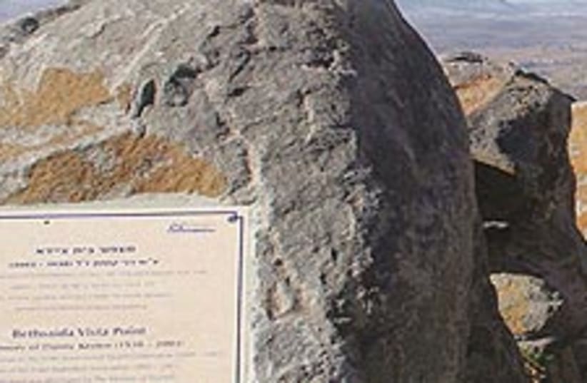
The channel at Zaki alternately widens and narrows. The Beit Saida Vista Point offers a stirring view of what’s left of the Kinneret. The Majrase is an official nature reserve, so it’s very clean.
Ironically, by the time summer vacation rolls around and you finally have free time to spend outdoors, it is usually too uncomfortably hot to hike through Israel’s fabulous natural sites. The solution? A refreshing water walk through a couple of the rivers (nehalim in Hebrew, and also called ’streams’ in English) that flow into Lake Kinneret!
Before you try one of the two outings I describe below, Majrase and Zaki, head up a short way into the Golan Heights for a breathtaking view of the water. Even today, though sadly shrunken, a shimmering Lake Kinneret is still a stirring sight! The overlook I suggest is called Ma’aleh Beit Saida (the Beit Saida Vista Point). To get there, take Highway 92 to the Ma’aleh Gamla junction and turn onto Road 869. The observation point is east of Moshav Ma’aleh Gamla.
Dedicated to the memory of Danny Kesten, former chairman of the Israel Basketball Association and Israel’s Government Tourist Corporation, Beit Saida Vista Point is located at 110 meters above sea level. It looks out over the glimmering northern portion of the Kinneret and the lush, marshy Beit Saida Valley, bursting with streams that include the Majrase and the Zaki.
You are standing above the eastern side of the Beit Saida Valley; the opposite side is bordered by the Jordan River. The abundance of soil and water carried by the rivers has made this region extraordinarily fertile. Across the lake, you can easily make out Mount Tabor and the hills of Lower Galilee, while to the north you will see Mount Hermon.
In 1976, the United Nations equated Zionism with racism. In response, Prime Minister Yitzhak Rabin resolved to build four new communities on the Golan Heights. One of the four was Ma’aleh Gamla, just below you. Most of the residents are successful farmers whose prosperity is due to the region’s subtropical climate, fertile ground and plenty of water.
Now for your summer hike. Choose between a 45-minute easy walk through the Majrase River, where you swish your way through refreshingly cool water, and an off-the-beaten-track trek through the Zaki River — for strong swimmers only!
THE MAJRASE RIVER
A few years ago, the Majrase became an ’official’ nature reserve, the kind that has opening and closing hours and charges a fee. While annoying, this policy means that the site is clean, there are restrooms (of a sort), a kiosk offers drinks and there is a short wheelchair-accessible trail to the water.
To get there, take Highway 92 to the northeastern portion of the Kinneret. At the Ma’aleh Gamla junction, if you are driving south, turn right at the sign for Daliyot (Majrase). If you are driving north you won’t see the sign, but turn left at the junction in the direction of Lake Kinneret. Continue until you reach the Majrase Nature Reserve, pay the entrance fee, and park.
Enter the river near a sign that reads ’Caution, deep water.’ Turn left and walk with the current. You are walking inside the largest freshwater nature reserve in Israel, at the spot where the Golan’s rivers flow into Lake Kinneret. The trail passes through jungle-like vegetation far more typical of the tropics than Israel.
The stream widens and narrows as you slosh (or swim) forward. At one point, near a grove of eucalyptus trees, steps lead you out of the water and onto dry land, and you can turn around and walk back to your car. Alternatively, continue to the end of the watery trail, where you reach lagoons that serve as fish-breeding areas. Then walk back through the water to the beginning of the trail, or climb out and return on an excellent path just above the river.
| More about: | Yitzhak Rabin, United Nations, Golan Heights, Mount Hermon |
