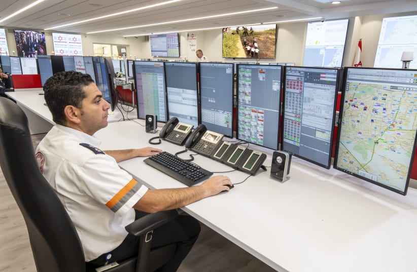
Israel's paramedic and red cross service Magen David Adom (MDA) has been presented with an award last week for its innovative use of geographic information system (GIS) technology, which it uses as the foundation for its world-famous computer-assisted ambulance dispatch system.
The award was presented by the founder and president of GIS technology provider Esri, at the company's annual users conference in San Diego, California. At the conference, the company singled out MDA and the way in which they implement GIS technology in their day-to-day work.
How does GIS technology work?
GIS technology is a computer system for capturing, storing, checking and displaying data related to positions and locations across the globe. By relating seemingly unrelated data, GIS can allow individuals and organizations to better understand their spatial relationships with others.
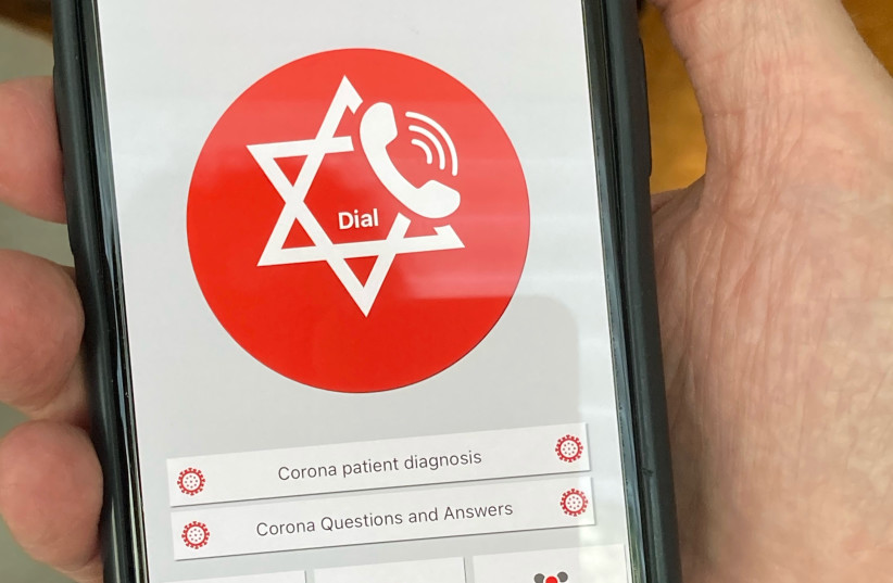
The GIS technology is central to Israel's national medical emergency dispatch system, which is operated by MDA. The technology is embedded in the phone applications of an estimated 40,000 EMTs and first responders nationwide, allowing MDA to instantly geolocate ambulances in medical emergencies and dispatch the 10 nearest first responders to the scene.
MDA has also used this technology to create dispatch systems for other emergency organizations including Israel’s Fire and Rescue Service, the Philippines Red Cross, and Hatzalah South Florida.
According to a time analysis carried out by the organization earlier this year, MDA first responders arrive at the scene of medical emergencies ahead of any other first responders around 91% of the time.
“The GIS technology touches virtually every aspect of our work,” said Ido Rosenblat, chief information officer for Magen David Adom, “and is a key reason we can reach the scene of a medical emergency faster than any other EMS organization in Israel,” he said.
“MDA’s goal is to have the best-trained and best-equipped EMTs and paramedics in the world and provide them with the best technology to reach the scene more quickly and better informed about the emergency,” he added. “If you can do that, you’re going to have an impact on patient outcomes and save even more lives.”
“MDA’s goal is to have the best-trained and best-equipped EMTs and paramedics in the world and provide them with the best technology to reach the scene more quickly and better informed about the emergency. If you can do that, you’re going to have an impact on patient outcomes and save even more lives.”
Ido Rosenblat, chief information officer for Magen David Adom


