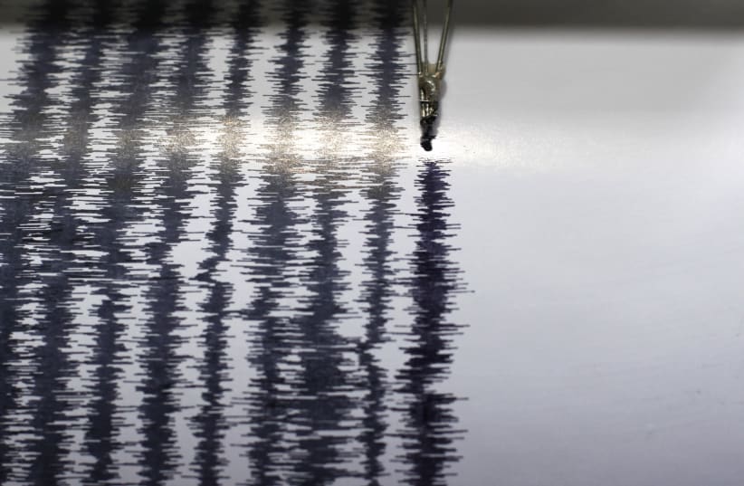
A 4.3 magnitude earthquake was felt in the Eilat area in southern Israel on Sunday morning. There is no information as yet on injuries or damage.
A 4.6 earthquake was reported in Aqaba, Jordan at around the same time, according to Jordan's official Petra news agency. No damages or injuries were reported in Jordan.
The epicenter of the earthquake was about 60 kilometers south of the city, according to the head of the Jordanian Seismological Observatory, Dr. Mahmoud Al-Qaryouti, Petra reported.
The Geological Survey of Israel's Seismology Division reported the epicenter of the earthquake as being located south of Eilat in the Red Sea.
Noticeable earthquakes were reported in Israel in January and multiple last times last year.
Israel is located along the Syrian-African fault line, which runs along the Israel-Jordan border, part of the Great Rift Valley that runs from eastern Lebanon to Mozambique. A major earthquake is statistically due to strike Israel every 80-100 years.
In 1927, a 6.2 earthquake struck the country, killing 500 people.
A 2016 report by the Knesset Foreign Affairs and Defense Committee’s Home-Front Readiness Subcommittee found that if Israel were to be struck by a 7.5 magnitude earthquake, an estimated 7,000 people would be killed, another 8,600 injured and 377,000 left homeless. In addition, the country could face damage of up to NIS 200 billion.
